
Brentwood ZIP Code Coverage
Research verifies 94513 as the only ZIP serving incorporated Brentwood. Postal Brentwood reaches into rural territory, including the Holland Tract example in county material. The table separates that verified city ZIP from an adjacent ZIP not proved inside the city. USPS station details were not located, so no post-office address is invented.
| ZIP | Areas Covered | Post Office | Notes |
|---|---|---|---|
| 94513 | Incorporated Brentwood plus a larger rural postal territory around it | USPS Brentwood station details not located in accessible official source | Only ZIP verified as serving Brentwood city; includes rural Holland Tract postal identity |
| 94514 | Byron and nearby rural geography | USPS Byron office details not located | Adjacent to Brentwood; not verified for any parcel inside Brentwood city |
Do not turn nearby 94514 into a Brentwood city ZIP, or every 94513 address into a city parcel. Use USPS for deliverability, then GeoVault, CCMAP, and the parcel record for jurisdiction. That sequence anchors a reliable ZIP code directory.
Brentwood's 94513 Postal Reach
Brentwood's postal geography is wider than its incorporated footprint. The city reports 14.8 square miles and 9,502 acres, with a 17.4-square-mile and 11,129-acre sphere of influence. It borders Oakley north, Antioch west, and unincorporated Contra Costa south and east. Those figures do not define the full 94513 delivery area.
A rural Holland Tract address can use “Brentwood 94513” outside city police, planning, utility, or municipal-record custody. Keep the postal area and municipal test separate: use city limits for permits, APN for parcels, and precincts for elections.
A postal address can normalize a spelling or likely county, but it does not make a rural household a city resident. Record postal city, ZIP, incorporated status, and source date separately.
Brentwood's 94514 Boundary Question
94514 is associated with Byron and nearby rural geography. Research does not verify a parcel inside Brentwood city carrying it. A nearby ZIP may be regional without serving an incorporated parcel.
For a 94514 family note, directory, tax document, or newspaper, run the full address through USPS, then compare the parcel, city limits, annexations, and APN in GeoVault or CCMAP before choosing a custodian.
No verified ZIP split, realignment, or renumbering year was located. Preserve the printed address and cite the current USPS and map layers rather than guessing a change date.
Finding Brentwood Residents by ZIP Code
A ZIP code directory search narrows geography before it names a custodian. USPS verifies the label, GeoVault checks city limits and annexations, parcel tools identify APNs, the Assessor counter supplies suppressed owner information, and voter tools serve self-checks or regulated requests. No ZIP-wide public resident browser is verified.
- Run the complete street address through USPS By Address. Save the ZIP, city, state, and the date of the result.
- Open Brentwood GeoVault and search the address or APN. Turn on city limit, annexation, parcels, address, subdivision, and district layers.
- Use CCMAP or ParcelQuest Lite to confirm the parcel and ten-digit APN. Online property results provide map, value, and characteristics, not owner names.
- If ownership is the question, request the public assessment-roll entry from the Contra Costa Assessor counter and keep mailing and situs addresses apart.
- If election status is the question, use the person's own voter-status identifiers or a lawful county or state file request. Do not treat a ZIP as permission to browse a street roll.
- Once the ZIP narrows to a known street, move to the Brentwood street directory for address-keyed parcel and deed steps.
This workflow distinguishes postal delivery from city jurisdiction and land evidence. It also stops a ZIP result from being mistaken for a complete list of households.
Brentwood USPS ZIP Code Fields
The USPS lookup is the right first stop because it answers a mailing question. Its modes do not claim to draw city limits or list residents. A source image of the USPS ZIP Code Lookup shows the address-to-ZIP gateway.
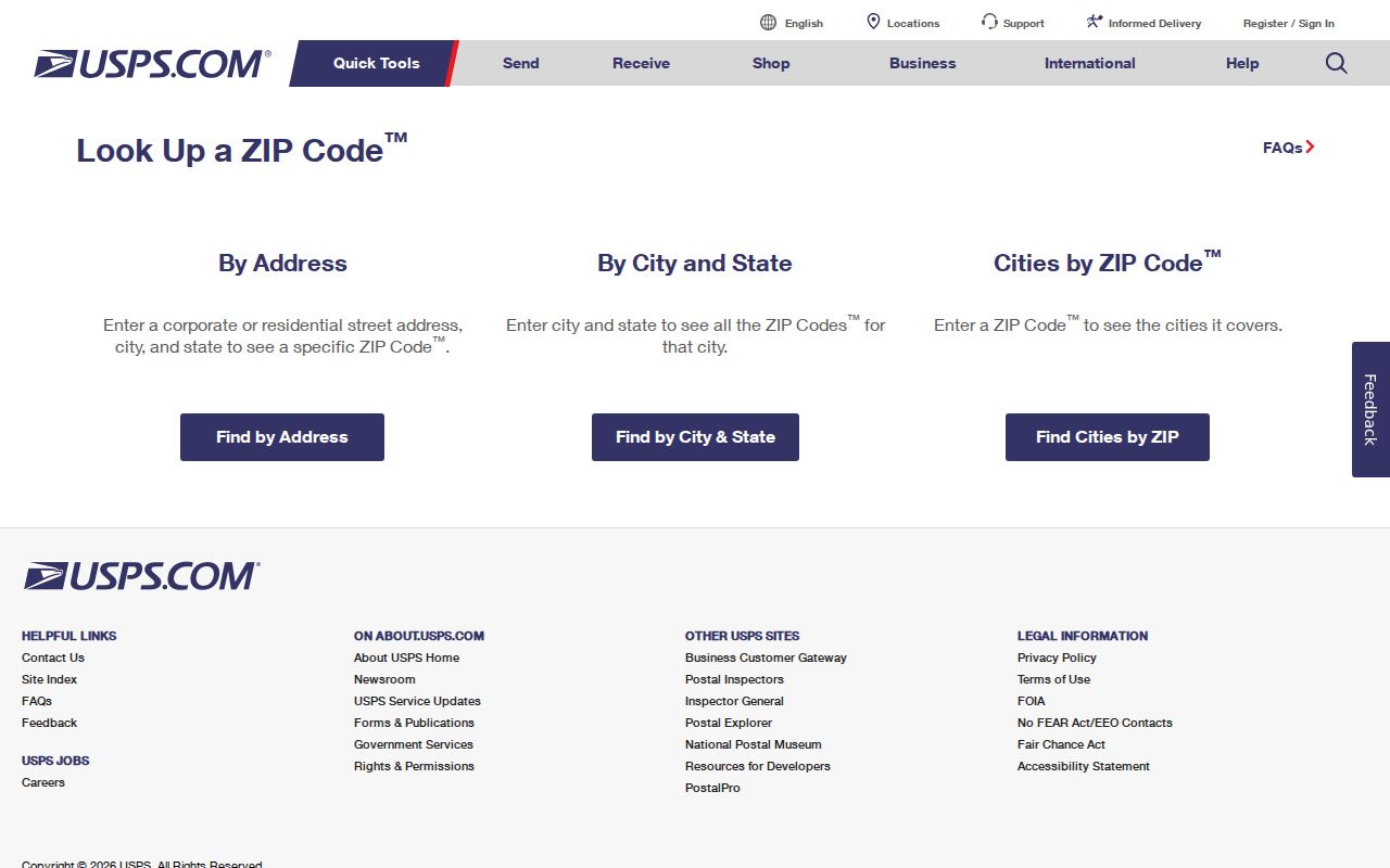
Use the returned postal city and ZIP as a routing result, then continue to parcel and municipal layers before making a location claim.
| USPS Mode | Input | Question Answered | Limit |
|---|---|---|---|
| By Address | Street address, city, state | Which ZIP is assigned to a deliverable address | Does not establish city limits, ownership, or occupants |
| By City and State | City and state | Which ZIP choices are associated with a postal city | Postal city can reach rural territory |
| Cities by ZIP | ZIP code | Which postal city and state are tied to the ZIP | Does not show a municipal boundary or parcel list |
Save the exact address format used. Unit, directional, and street-suffix differences can affect a result. If the portal rejects an older or rural address, use the city address map and GeoVault to resolve the parcel before trying again.
Brentwood GeoVault Boundary Check
GeoVault does not advertise ZIP filtering. It accepts APN, address, or owner name for zoning reports and layers addresses, parcels, city limits, annexations, roads, subdivisions, sphere of influence, footprints, and districts. It is the jurisdiction check after USPS, not a second ZIP directory.
Search the address or APN, turn on city-limit and annexation layers, and note whether the parcel is incorporated or rural. Add council, school, police, assessment, CFD, LLAD, flood, or service layers when the office question requires them.
City Planning's maps and zoning information identifies the development-address review channel. The direct PDF and field inspection were not verified. City Hall is 150 City Park Way, Brentwood, 925-516-5400, weekdays 8-5; verify hours.
GeoVault answers city and parcel questions, not resident names, and does not override owner-name suppression.
Four Brentwood Address Geographies
One Brentwood address may carry four useful geographic identities. Keeping them in separate columns prevents a postal fact from being used as a property or election fact.
| Postal ZIP | USPS delivery label, such as 94513; routes mail and may extend beyond the city. |
|---|---|
| City and annexation | Incorporated Brentwood, an annexed area, sphere of influence, or unincorporated county land. |
| Parcel and APN | Land unit used by county property, tax, deed, and map systems. |
| Precinct and district | Election geography used for voter information, councils, schools, or other public districts. |
County Elections supplies registration administration, precinct and district assignments, vote-by-mail services, and election history. A self-lookup needs personal identifiers. A voter-file extract requires a statutory purpose, requester details, geography, security statement, and any quoted duplication or extraction charge. It is not a ZIP-wide resident roster.
The county election gateway is shown through the official Contra Costa Elections source link.
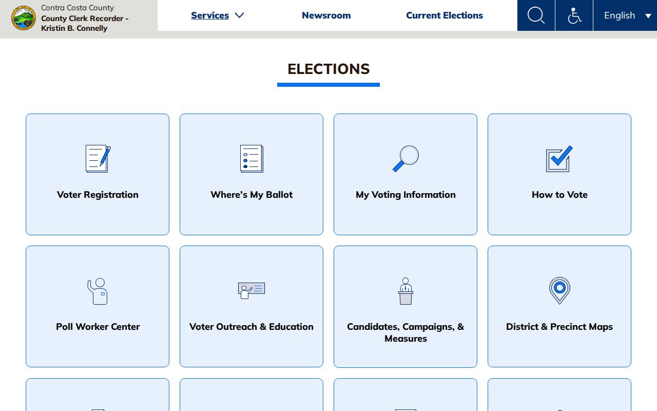
Election geography can overlap a postal area without following it. Use the result only for the district or registration question it actually answers.
Brentwood Situs, Mailing, and ZIP
Situs means the parcel's physical address. Mailing means where tax correspondence or other notices are sent. The two can differ. A mailing address may belong to an owner, trust, manager, or mailing service, while a situs can describe a vacant parcel or a building with several occupants. A ZIP on a tax or recorded document should be copied as evidence of that document's address, not assumed to be the current postal result.
County APNs use ten digits in a pattern such as 019-032-011-9. The first three digits identify the map book, the next three the page, the next three the parcel, and the final digit is a check digit. A legal description, such as a lot, block, subdivision, or metes-and-bounds description, can persist even when street labels or mailing details change.
ParcelQuest Lite accepts APN or street address. The online output includes boundary, values, building square footage, lot size, aerial or contour context, and property characteristics. Ownership is omitted online, so a ZIP search that reaches the property map must still stop at the Assessor counter when the assessee is needed.
Brentwood ZIP Code Definitions
ZIP terms describe different kinds of mail geography. Defining them before searching keeps a ZIP code directory from claiming more precision than the source supports.
- ZIP versus ZIP+4
- A five-digit ZIP identifies a broad delivery area. The four extra digits narrow a delivery segment, building, or route and do not create a city boundary.
- PO-box ZIP
- A ZIP used for post-office box delivery rather than ordinary street delivery. No Brentwood-area PO-box-only ZIP was verified in the research.
- Unique ZIP
- A ZIP assigned to one large institution or organization. No unique Brentwood ZIP was verified.
- Carrier route
- A postal delivery route within a ZIP. It is an operational mail layer, not a parcel, neighborhood, or resident roll.
- ZCTA
- A Census statistical approximation built from ZIP-like geography. ZCTA 94513 is not the same thing as the USPS delivery boundary or the city line.
These definitions also explain why a Census map and a USPS result can look close without matching. Use the source's own geography label in notes and do not collapse ZIP, ZCTA, city, APN, and precinct into one field.
Brentwood ZIP Code Census Context
Historical resident research can pair a ZIP clue with federal census schedules, but the census does not create a historical ZIP roll. The National Archives describes public population schedules through 1950 under the 72-year access rule. A source image of the National Archives census research route shows the federal context.
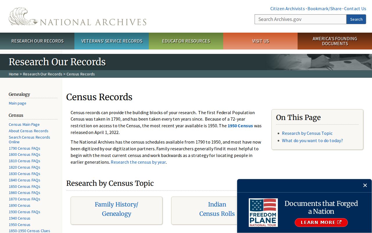
Census schedules identify households, ages, relationships, occupations, and location clues for their own enumeration year. They do not prove that a current 94513 address had the same ZIP, city line, or street number in the past.
For statistical work, Census summary files and data.census.gov accept ZCTA geography, including ZCTA 94513. A second reference image from the Census summary-file geography guidance shows the difference between a statistical area and a mailing result.
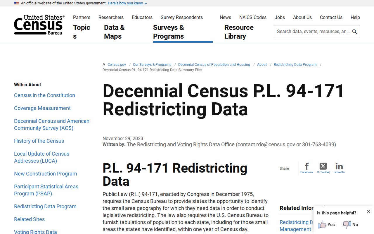
Use ZCTA data for the statistic it measures. Use USPS for delivery, GeoVault for city jurisdiction, and the county parcel system for land. A ZIP code directory becomes reliable when each layer keeps its own definition.
Brentwood ZIP Code Research Gaps
No official split, realignment, or renumbering date was verified. No PO-box-only or unique ZIP was located for Brentwood, and no ZIP-wide assessor browse was found. GeoVault does not advertise ZIP filtering. DCA license search accepts ZIP, but it is a professional-license directory, not a parcel or resident roll. These gaps should be stated whenever a search result is summarized.
California voter-status tools can show a willing person's own information but do not make a public ZIP roster. City and county district maps can show communities and service geography without naming residents. Postal territory can extend into rural land even when the city name appears on the envelope. None of those limits is solved by switching to a different ZIP search.
The California voter-status gateway is the source for the final verification path.
Open the California voter-status lookup guidance when a person is checking their own record.
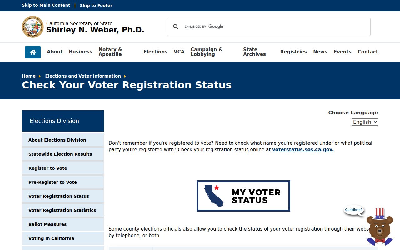
The image reinforces the boundary between self-verification and a public residents directory. For a city-limit answer, return to the parcel and annexation layers; for a postal answer, return to USPS.
Note: The verified Brentwood ZIP fact is 94513 for the city; every broader claim needs a parcel, postal, census, or precinct source.